-40%
USGS WYOMING GEOLOGY of the FORT HILL QUADRANGLE Awesome Maps VINTAGE 1969 NICE
$ 6.33
- Description
- Size Guide
Description
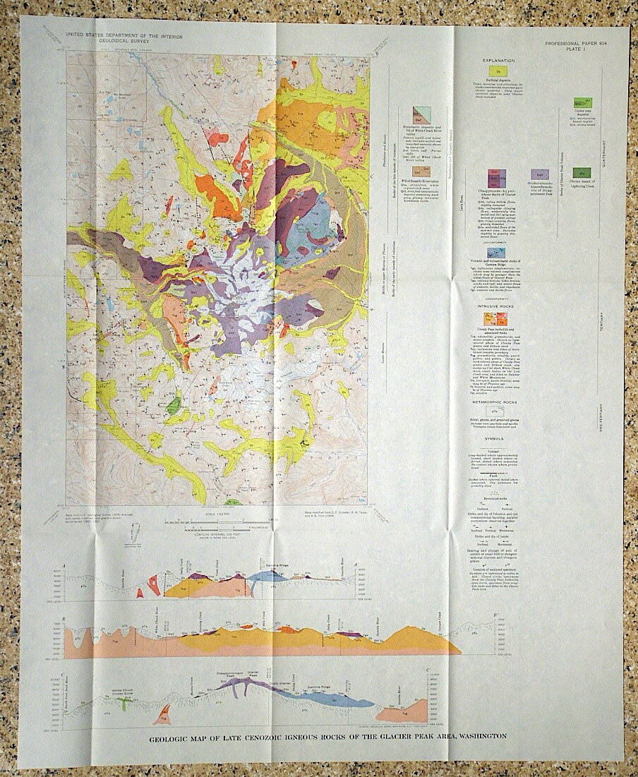
BEAUTIFUL MAPS!!This is USGS Professional Paper 594-M, “
Geology of the Fort Hill Quadrangle, Lincoln County, Wyoming.
” This 40-page report, published in 1969, covers the geology of this large area in great detail, and come complete with both of the full color map sheets. One is actually a panel of full color cross
sections
showing the geology beneath the surface. This area is northeast of Kemmerer and east of Cokeville.
The geology is complex with significant thrust faulting and folding. It is impressive they could work out all the geology from the mapping thy did.
Rocks in this area range from Cambrian to Tertiary in age and include sedimentary rocks of many types. This area is known for oil and gas, but helium resources have also been noted in the area! This is a great report with truly impressive maps that would look great framed and hung in a home or business. There can't be many of these around any more!
Shipping weight is ten ounces. Inexpensive Media Mail is provided to save you a buck.
Expert packing assured.
Visit my store,
Rockwiler Books and Minerals.
I will continue to add items to my store, so check back frequently.
®
ROCKWILER


