-40%
USGS PRESCOTT & PAULDEN ARIZONA QUADRANGLES Geology HARD COVER with MAPS 1965
$ 23.76
- Description
- Size Guide
Description
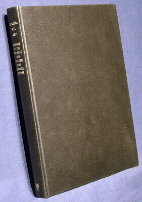
LARGE, SCARCE REPORT!! ALL MAPS PRESENT!! RARE IN HARD COVER!! ONLY ONE AVAILABLE!!This is USGS Professional Paper 476,
Geology of the Prescott and Paulden Quadrangles, Arizona
. Published in 1965, there aren't many of these around anymore. This publication consists of the
126-page hard cover
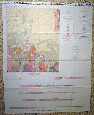
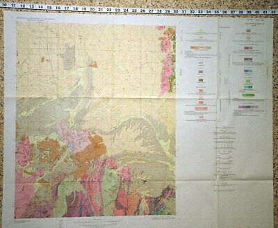
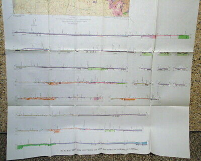
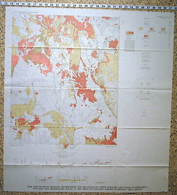
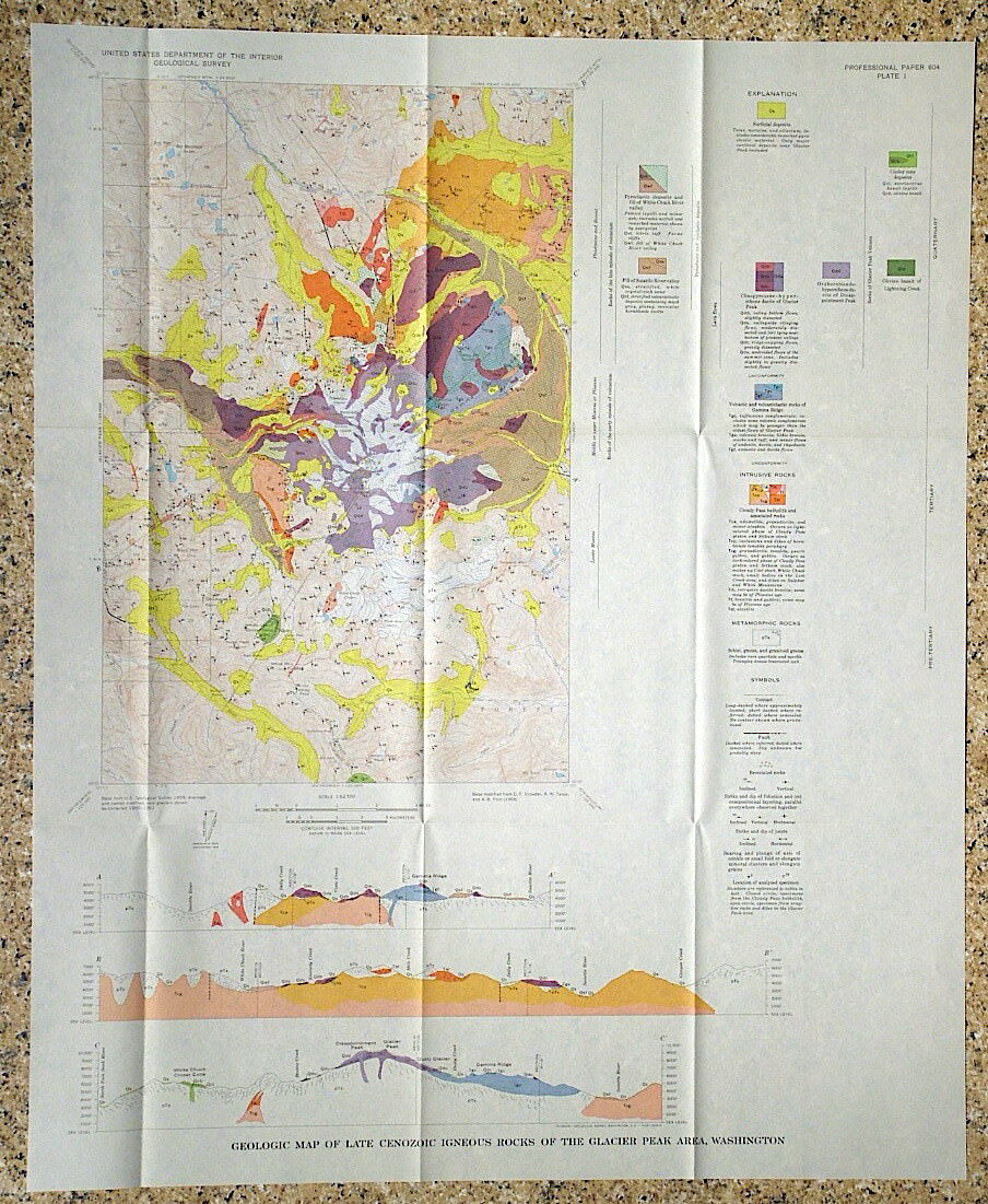
book and all of the pocket maps and diagrams. Three are large full color geology maps. Two others are B&W. These were only issued in soft covers, but this was hard bound by a mining company and apparently not used very much. The gilt lettering on the spine and cover is still bright.
This volume discusses the complex geology of this wild area. The goal of the study was to give regional context to two important copper deposits in the region: The United Verde and United Verde Extension mines, and also the large Iron King lead-zinc mine at Humboldt. The result was this great study of this beautiful and popular area.
The geology is all described at length in the book, along with tons of information on the formations and geologic history of the area. The text also contains many photos, maps and diagrams that are very helpful and bring the geology to life. There is a section on the economic geology and ore deposits of the area as well including the mines mentioned above, plus the Mineral Point district and the Lynx Creek gold placer
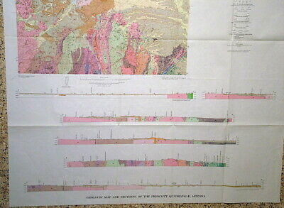
The two large maps are at 1:48,000 and are more than 4 feet tall. Prescott is in the SW corner of one of the large maps, Paulden is in the west half of the the other. They have nice cross sections on the bottom that help reveal the details of the geology.
This is a rare publication on an interesting area - almost an inch thick! All in all it’s a very cool publication that would be a help to any mineral collector, geologist, arm-chair geologist, or someone that loves this area or is interested in the history.
Here is a great opportunity to own an old interesting publication in a rare, well-preserved hard-bound copy. Please be sure to read the condition notes.
Shipping weight is three pounds. This thing is large!
Expert packing assured. The recent increase in postage rates was pretty big. As a result, Media Mail is now my default shipping method to keep shipping affordable.
Visit my store,
Rockwiler Books and Minerals.
I will continue to add items to my store, so check back frequently.
®
ROCKWILER
