-40%
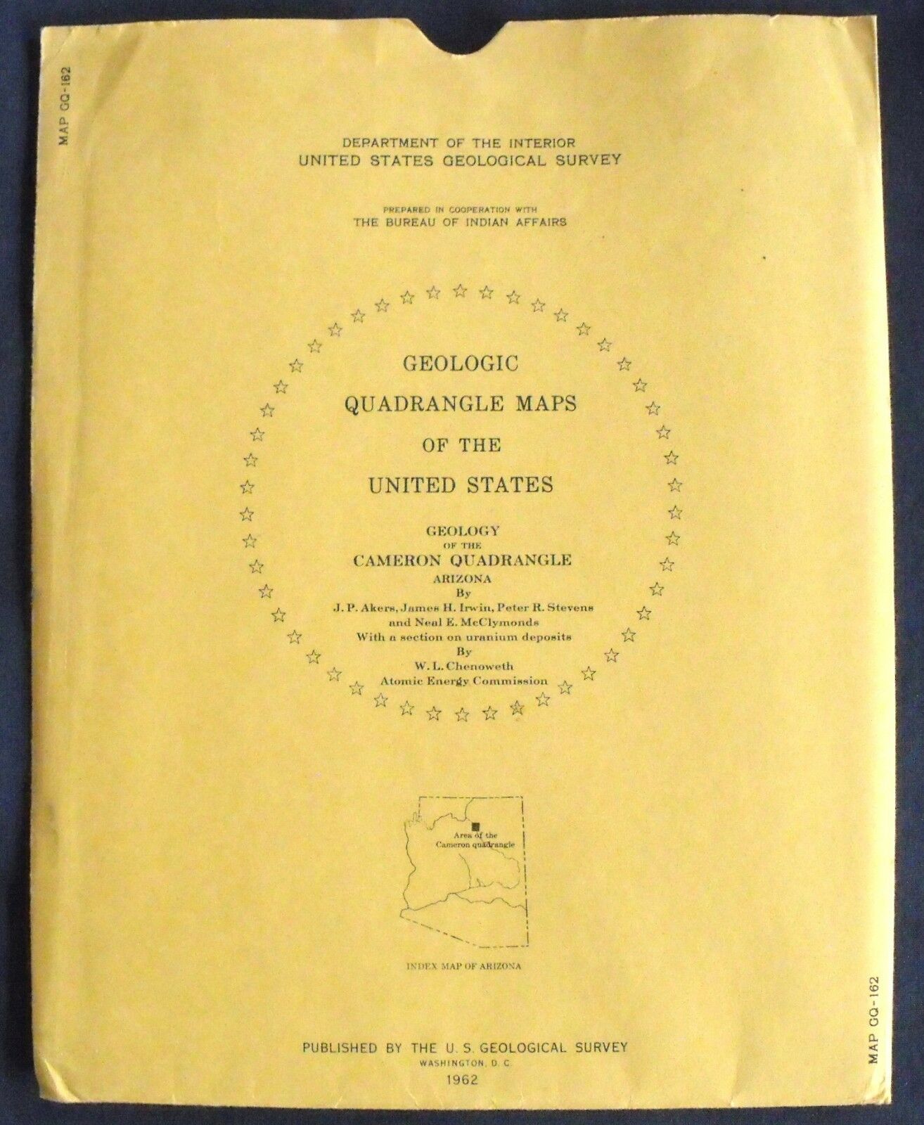
USGS ARIZONA URANIUM!! CAMERON QUADRANGLE, Yavapai County, GEOLOGIC MAP, 1962!
$ 8.44
- Description
- Size Guide
Description
SCARCE ITEM!!!This is USGS map GQ-162, “
Geology of the Cameron Quadrangle, Yavapai County, Arizona
.
” Published in 1962, this is a very nice item depicting the complex geology of this area. This 7.5-minute quadrangle map is beautifully colorful, and really would look nice framed.
It depicts the complex geology of this area. The Little Colorado River runs up through the center of the map.
Cameron is near the center of the map, and is surrounded by uranium mines and prospects that are marked on the map.
This would make a great guide to looking for uranium minerals in this area.
The map itself is on the right side of the sheet, which measures about 49x28 inches. Long descriptions of the map units and the uranium area occupy the left side of the sheet. This is a cool, colorful map that would look great on the wall of a home or business near the area, or just kept for study and enjoyment.
I likely have other Arizona geology maps, and maps in other states listed, so check my other items.
I will continue to add new items to my store, so check back periodically.
Expert Packing Assured.
®
ROCKWILER
